Max completed a summer internship with the Geographical Information Sciences Centre (GIS), located on the second floor of the Killam Library. This year marks his second summer full-time with the GIS Centre in addition to working part-time at the Centre during the fall and winter terms.
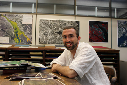
He is currently pursuing a Bachelor of Community Design with a focus on Geographical Information Systems (GIS) and environmental planning. The internship with the Killam provided Max the opportunity to pursue the following projects:
• Scanning a series of aerial photographs of the Halifax peninsula, Bedford and Sackville taken in 1969. The series includes over 700 high-resolution black and white photographs that now can be used in a GIS digital environment.
• Digitizing and geo-referencing commonly used historic maps of Halifax and city maps from the 1915 Atlas of Canada.
• Creating a GIS dataset for Dalhousie University and the surrounding area. This project will enhance existing data, including building footprints, a road layer, and green spaces. Over 1,500 buildings have been digitally rendered, including all Dalhousie-owned buildings and many surrounding residential and commercial buildings.
• Working with Dalhousie School of Planning’s Dr. Patricia Manuel and Prof. John Zuck on a GIS-based project for the Williams Lake Conservation Company focused on a potential residential development in the Williams Lake/Purcell’s Cove Wildlands area.
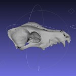
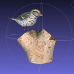
• Developing a process for preparing GIS data for 3D printing using the new three dimensional printer located in the Killam Library.
Having lived and travelled throughout North and South America before coming to Dal, Max says this about his recent experience as a Killam Library intern: “It has inspired a fascination with GIS that would have otherwise have not been possible. Now, I want to investigate how GIS can be used for further real-world applications—for things like disaster management and emergency preparedness models.”
Max has been a teaching assistant in several geography and GIS courses at the undergraduate and graduate levels. Additionally, he will tutor GIS for the School of Planning in the upcoming year. He is the recipient of the prestigious ESRI Canada GIS scholarship.