The University Archives and Special Collections is pleased to announce the acquisition of the David and Marilyn Janigan Map Collection.
The collection contains 18 historical maps of the Eastern Seaboard, ranging from the 16th to 19th centuries. Many of the maps are hand-coloured excerpts from atlases printed in the 18th century.
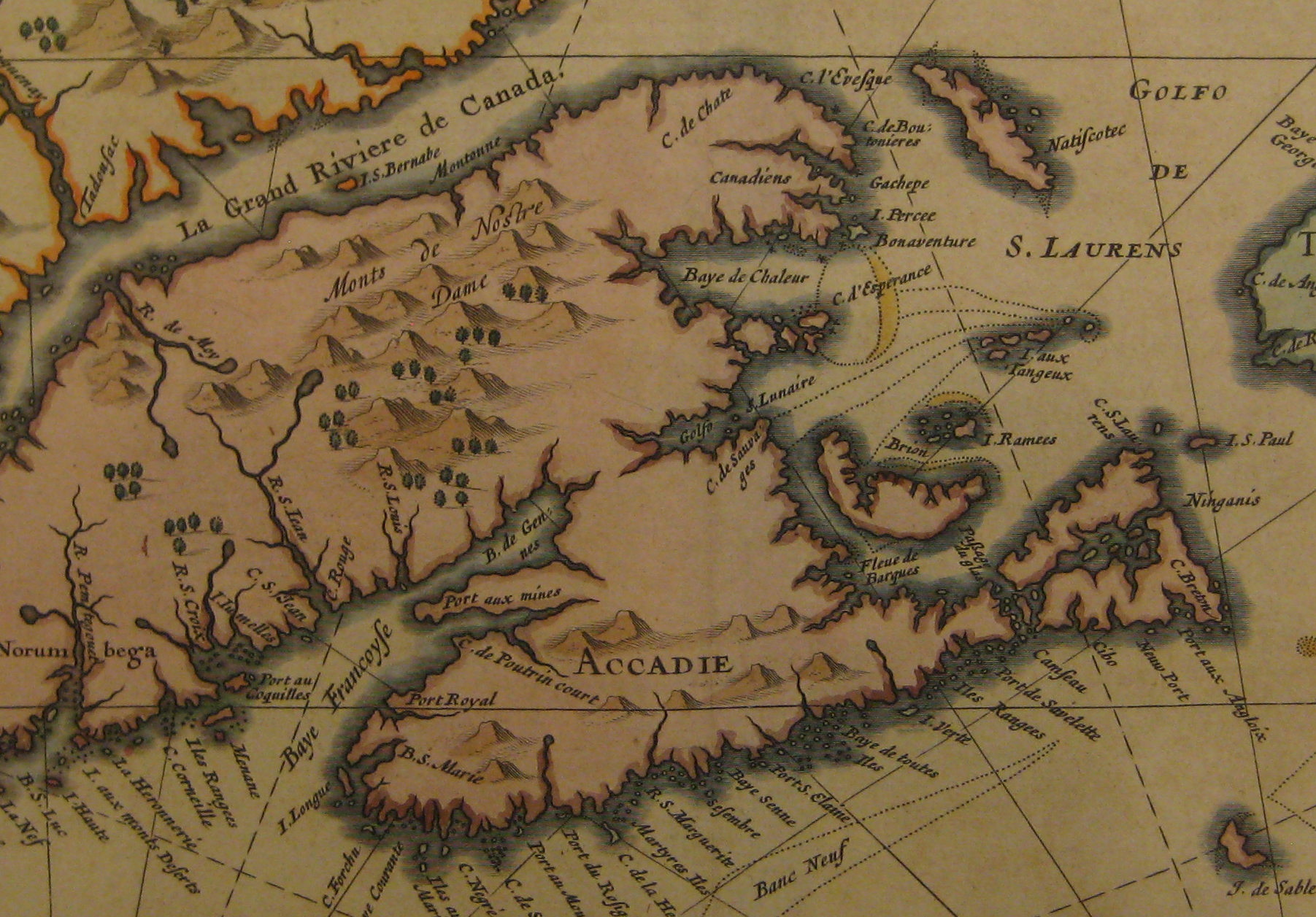
A Map of Atlantic Canada from the David and Marilyn Janigan Map Collection
Of special interest is a 16th century woodcut print of the Atlantic coast by Giacomo Gastaldi and a 1630 hand-coloured map of Nova Francia et Regiones Adjacentes by Joannes de Laet.
David Janigan is a retired professor of pathology in the Faculty of Medicine. The Archives and Special Collections is grateful for Dr. Janigan’s generous donation.
The David and Marilyn Janigan Map Collection is an excellent addition to the Archives and Special Collections’ map collection, which already contains a selection of historical maps of Atlantic Canada. The maps are available for consultation in the Archives and Special Collections Reading Room on the 5th floor of the Killam Library. Drop by and have a look!
Kevin Snair says
This is very interesting. I have been researching maps of the Bay of Fundy. Are there scans that can be viewed electronically for those who can not visit in person? In particular, I am interested in the earliest maps that show the Fundy Bay (perhaps referred to as Rio Fondo).
Creighton Barrett says
Thanks Kevin! We don’t have scans yet, but some of the maps held in the University Archives can be found in the David Rumsey Historical Map Collection: http://www.davidrumsey.com/.
The site has many other regional maps that you may find interesting. You might also check Early Printed Maps of Canada by Kenneth Kershaw.
That set includes facsimiles of many maps and is one of the best resources for researching historical maps of Canada. Hope that helps!