A GIS, or Geographic Information System, is “a computer system for capturing, storing, checking, integrating, manipulating, analyzing and displaying data relating to positions on the earth’s surface.” In other words, it’s a way to look at the world differently.
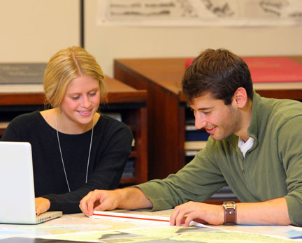
The GIS Centre provides support for Geographic Information Sciences research and teaching. It is the largest GISciences library facility in Canada and it is located on the second floor of the Killam Library. Join us for this series of lunchless learns*, designed to give you a taste of what GIS is and how it can be used. Due to the high level of interest, please sign up for session(s) by emailing gis@dal.ca
Please note that the sessions are not held in the GIS Centre.
Intro – First Encounters of the GIS Kind
Thurs., Sept. 20, 11:30 a.m.-1 p.m. ? Killam Library, room G70
Wed., Sept. 26, 12-1:30 p.m. ? Sexton Campus, C Building, room C300
Wed., Oct. 3, 12-1:30 p.m. ? Killam Library, room G70
Data – So You Want to Make a Map: where & how to find data
Wed., Oct. 10, 12-2 p.m. ? Sexton Campus, C Building, room C300
Thurs., Oct. 18, 11:30 a.m.-1:30 p.m. ? Killam Library, room G70
Raster – How to Become a Raster Master
Wed., Oct. 24, 12-1:30 p.m. ? Sexton Campus, C Building, room C300
Thurs., Nov. 1, 11:30 a.m.-1 p.m. ? Killam Library, room G70
Carto – Maps – The Good, the Bad, & the Ugly
Wed., Nov. 7, 12-1:30 p.m. ? Sexton Campus, C Building, room C300
Thurs., Nov. 15, 11:30 a.m.-1 p.m. ? Killam Library, room G70
*What is a lunchless learn? It’s a hands-on tutorial, held at lunchtime, without the food (sorry, food isn’t permitted in the computer labs).